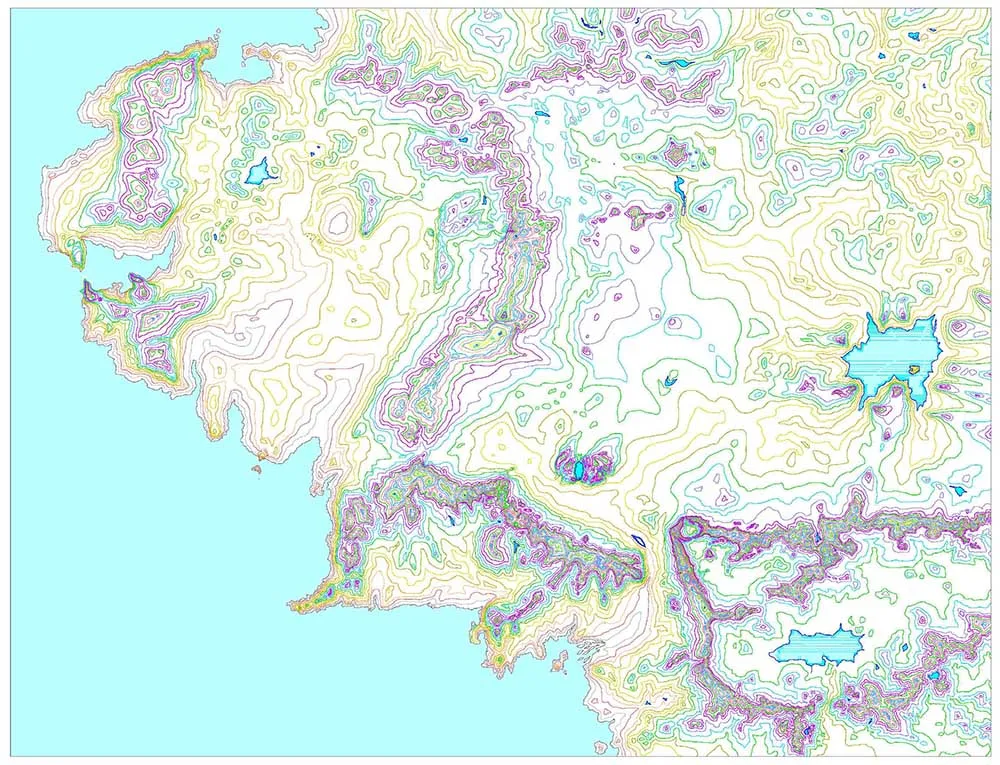
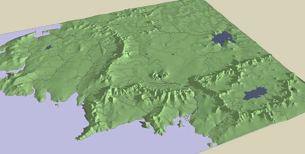
Having used various sources including Barbara Strachey’s maps to check the positions of the named locations in the story, I then attempted to represent the main topographical features, such as the Misty Mountains, in a single drawing using contours at 100 feet intervals for the low-lands and at 1000 feet for the mountains. I had the courses of the major rivers marked on my outline which was, naturally, important because the form of the land always had to allow the rivers to flow downhill.

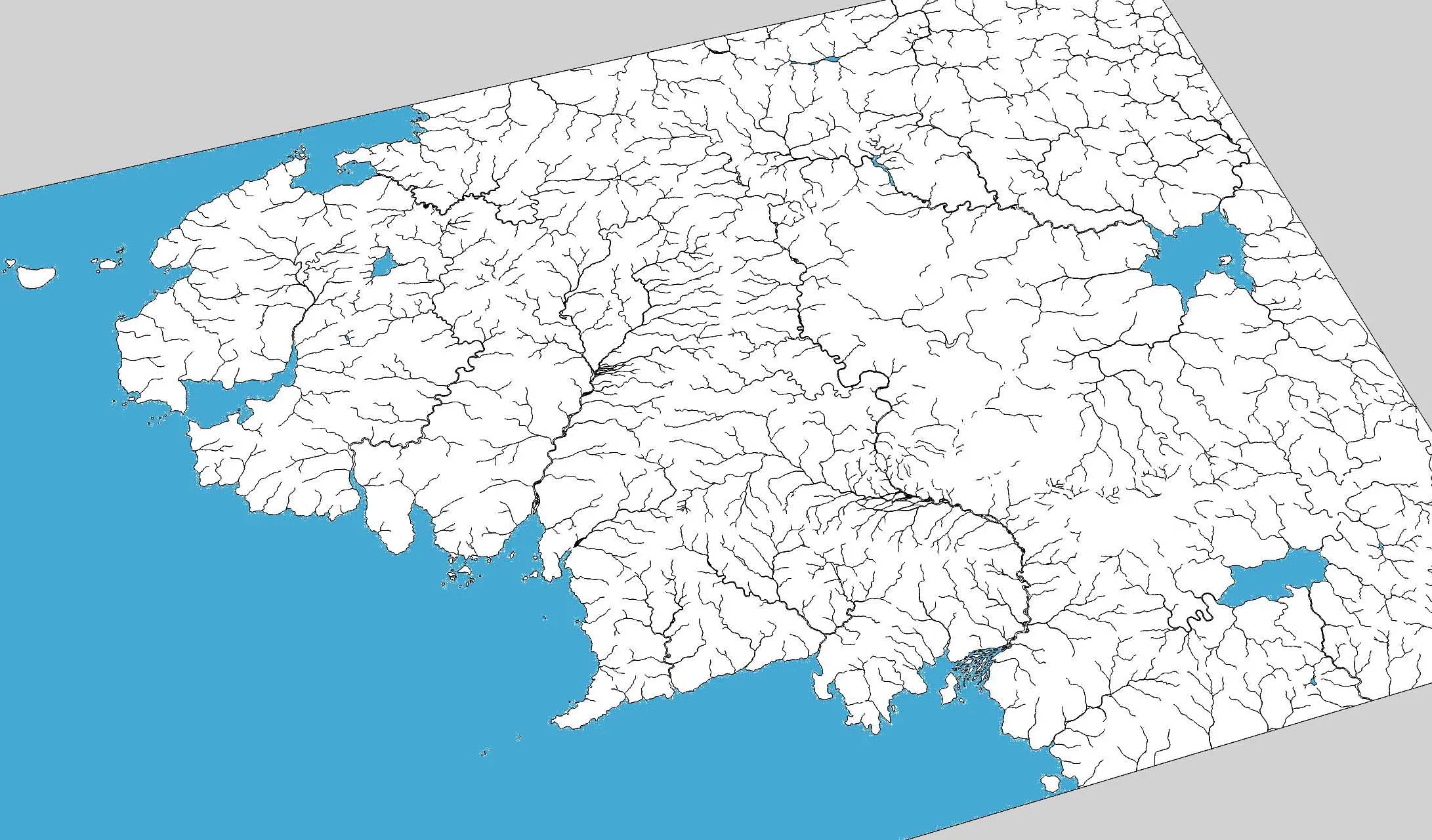
The trickiest river in mapping Middle-earth was the Anduin or Great River which flows for 1,400miles from the junction of the Grey and Misty Mountain ranges east of Mount Gundabad, to the sea in the Bay of Belfalas. The river drops only 950 feet in its entire length, and about 180 of those just at the Falls of Rauros. Roman aqueducts were built with a fall of 1:4800 in order that fast moving water didn’t erode the cement lined channel in the way that flood waters can tear up a tarmac road surface, at the same time the water in an aqueduct has to move enough that it doesn't become stagnant. The Anduin, especially in it's upper reaches, must be slow and heavy most of the time, except in the spring when it carries away the snowmelt from a considerable portion of the Misty Mountains.
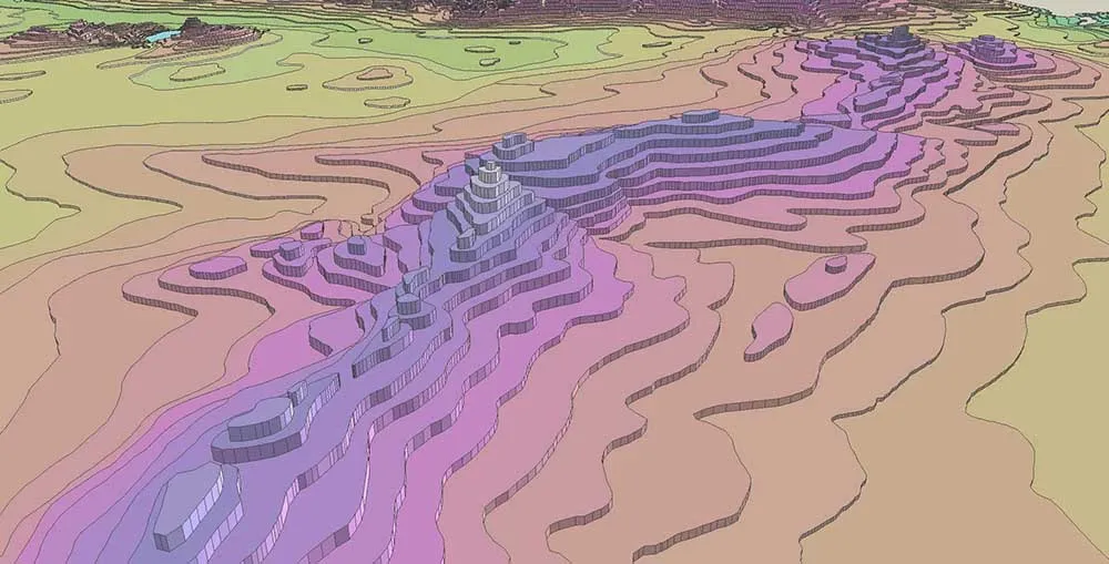
Once I had a complete contour map of Middle-Earth, I transferred it to Sketchup, filled in the faces and “extruded” each face to the appropriate height, giving a map of stepped contours. This was almost OK as a flat map but looked at obliquely was too crude.
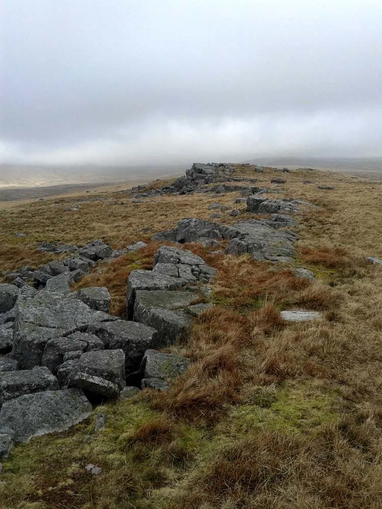
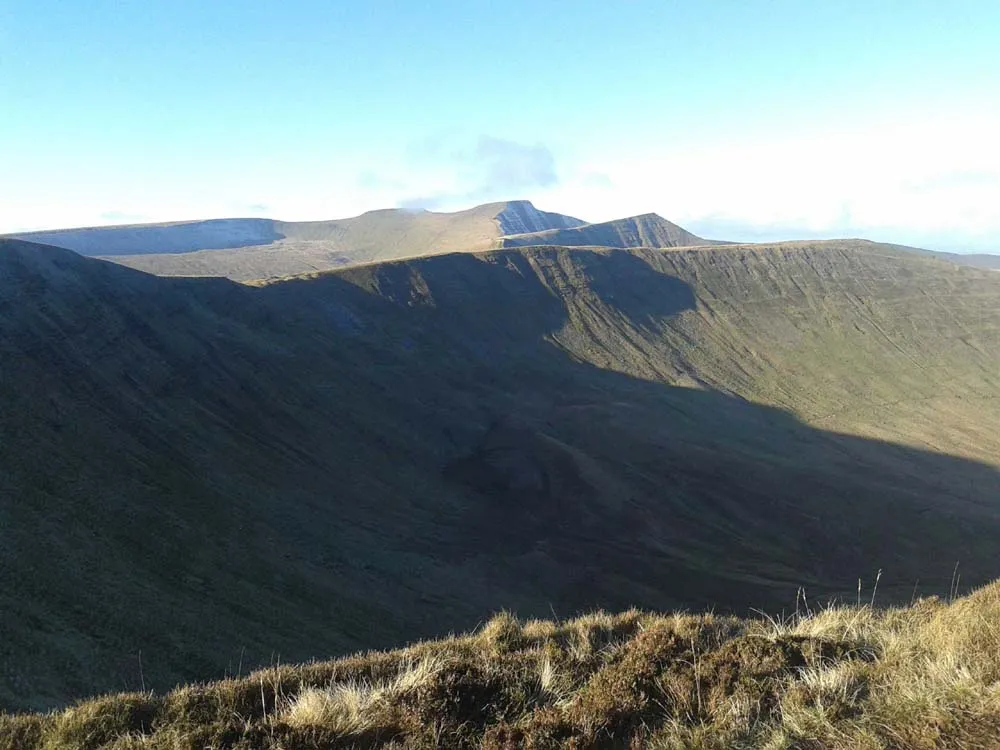
1. Research. Look at and save examples of mountain ranges, and their contours if you can get hold of them. It might help to learn something of geological processes, there are only a few different mechanisms in how mountains rise, (usually when continents collide and the land is forced upwards). The Himalayas are rising as the Indian sub-continent forces its way into the Asian landmass. I heard on a TV program that the best medium for modelling this process is actually baker's marzipan.
The Galapagos islands are being formed as the continental plate moves over an "angry spot" in the Mantle beneath that pushes the crust upwards from beneath the sea and also forms volcanoes, I think we could assume that there is a similar spot under Mordor.
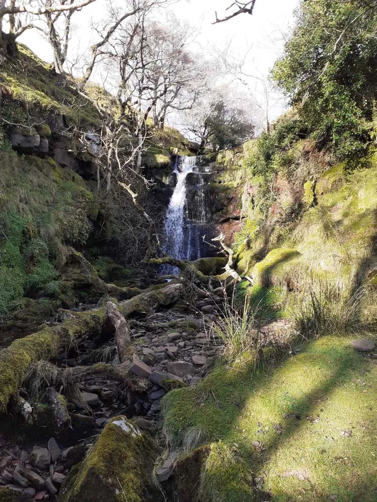
2. Rivers. Again, look at and save examples. On Google Earth you can follow the course of the Upper Nile which wriggles and splits and re-forms as it drops very gradually. Rivers wriggle more when they’re falling gently.
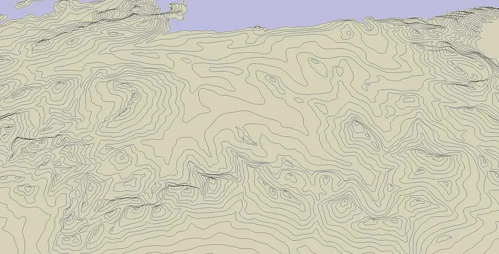
3. Shoreline. I could have drawn a more interesting shoreline if I had copied elements of the shoreline from Norway to northern Spain, though Tolkien has surprisingly little to say about the coastal littotal. On any world there must be a regular sprinkling of fishing villages along a coastline of 4,600 miles.
4. Mires and bogs. One of my favourite bits in LOTR is Sam and Frodo’s traversing of the Dead Marshes. Mires and bogs can be expected when the land is falling gently or hardly at all. Land that has a regular system of drainage ditches is described as "improved". The natural world is a lot boggier than most of us think (after all, people through history didn’t dig ditches around fields because standing up to your knees in water is fun). The town of Ravenna in Roman Italy was “moated” by the marshes around it and could only be reached by a couple of guarded causeways.
5. Scale and Detail. Establish a mechanism to look at your evolving map at 1:1 scale so as not to waste time on too much detail in some areas and too little in others, and also to stop you drawing contours that will mash up into a mess of black when printed. On the other hand you cannot have an even spread of detail across a map, in some areas almost nothing will be “happening” and then your river will go over the Victoria Falls! I applied a grid of 100 mile squares at the end of the process (wasn’t sure if I wanted it), but if I had shown a grid at the beginning that would have helped me to see how zoomed-in I was while drawing the contours.
6. Line lengths. All the contours shown are drawn in short linked straight lines. On the plains where the contours are long lazy curves, these straights can be up to 2 miles in length and do want to be so that a tremble of your hand doesn’t give an improbable “saw edge” to a contour, but in the mountains where tight, compacted wriggles are needed they can only be approx. 0.1 miles long.
7. Orthogonal Trap. Any feature on a map, e.g. a river, that runs straight or too up-and-down or side-to-side will look un-natural, even though on average some features must do so in nature. I think that our pattern-seeking minds especially notice these features.
8. Where to start. When drawing a map, it is natural, and fun, to begin with the most important parts, e.g. the Mountains of Mordor, including the wonderfully named "Mountains of Shadow". If you can resist this impulse, it is a good idea to practise, and improve your techniques, by assessing the results in filling in some of the least important parts, the background, first.
.webp)